February 20 – April 21, 2024
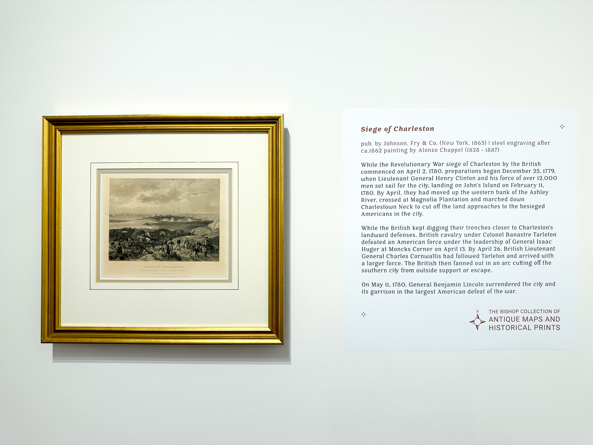
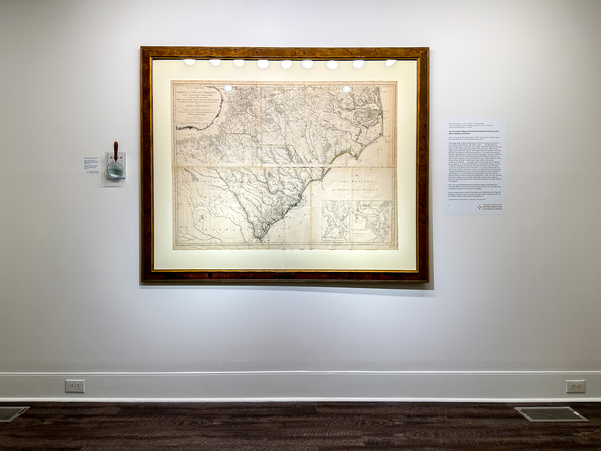
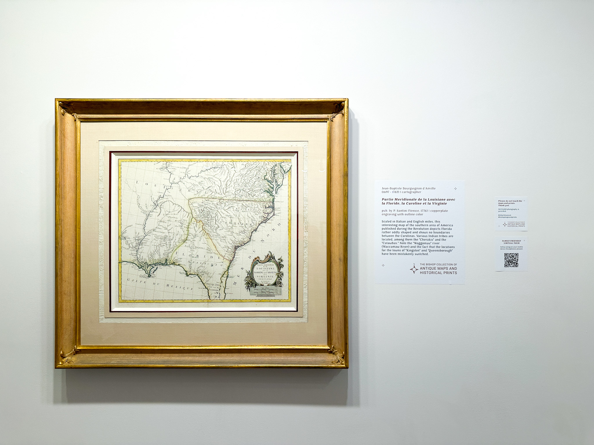
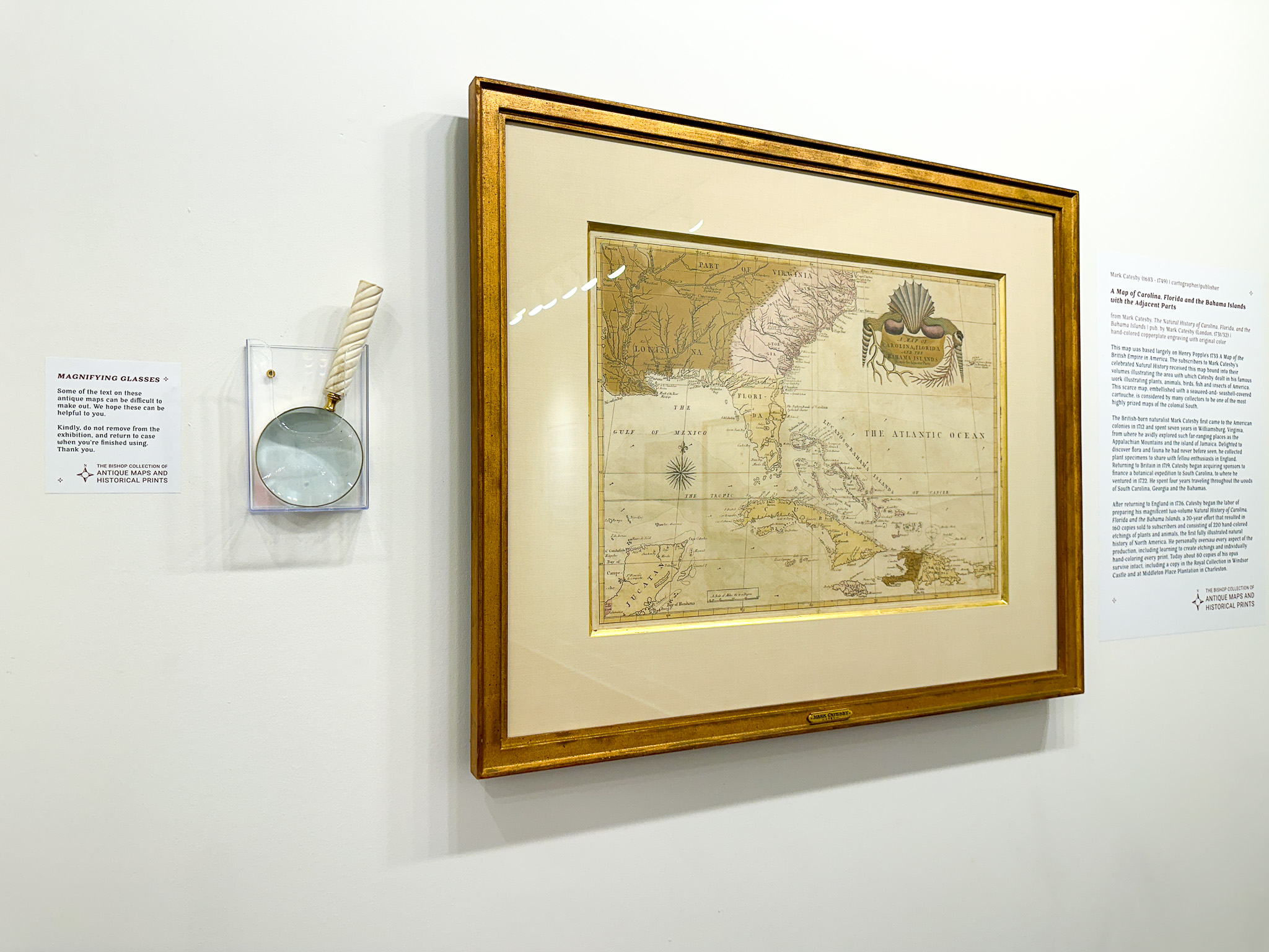
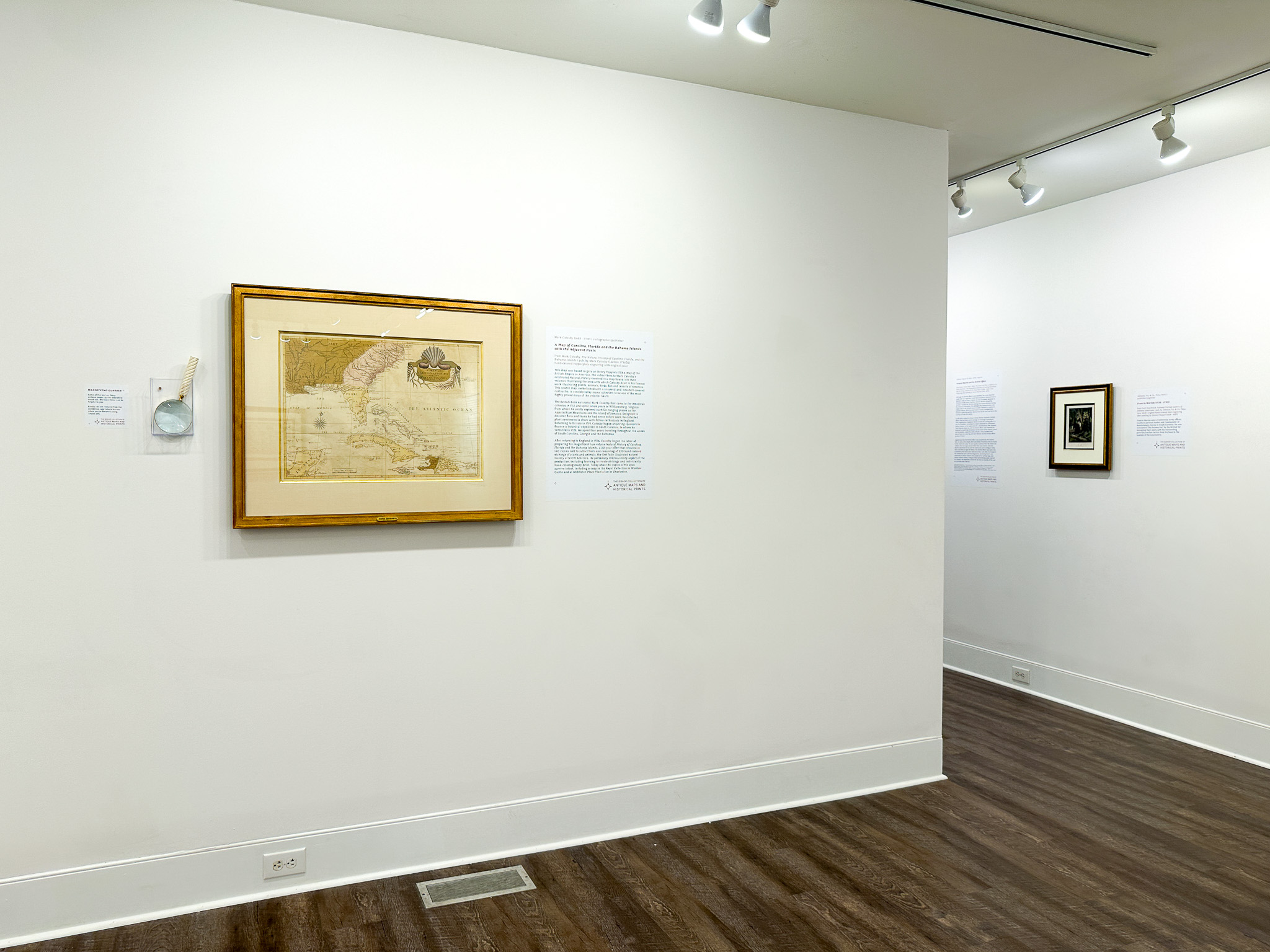
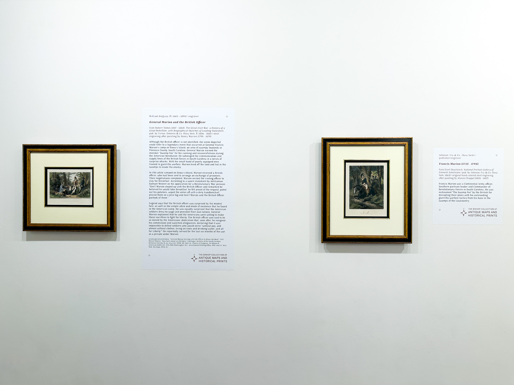
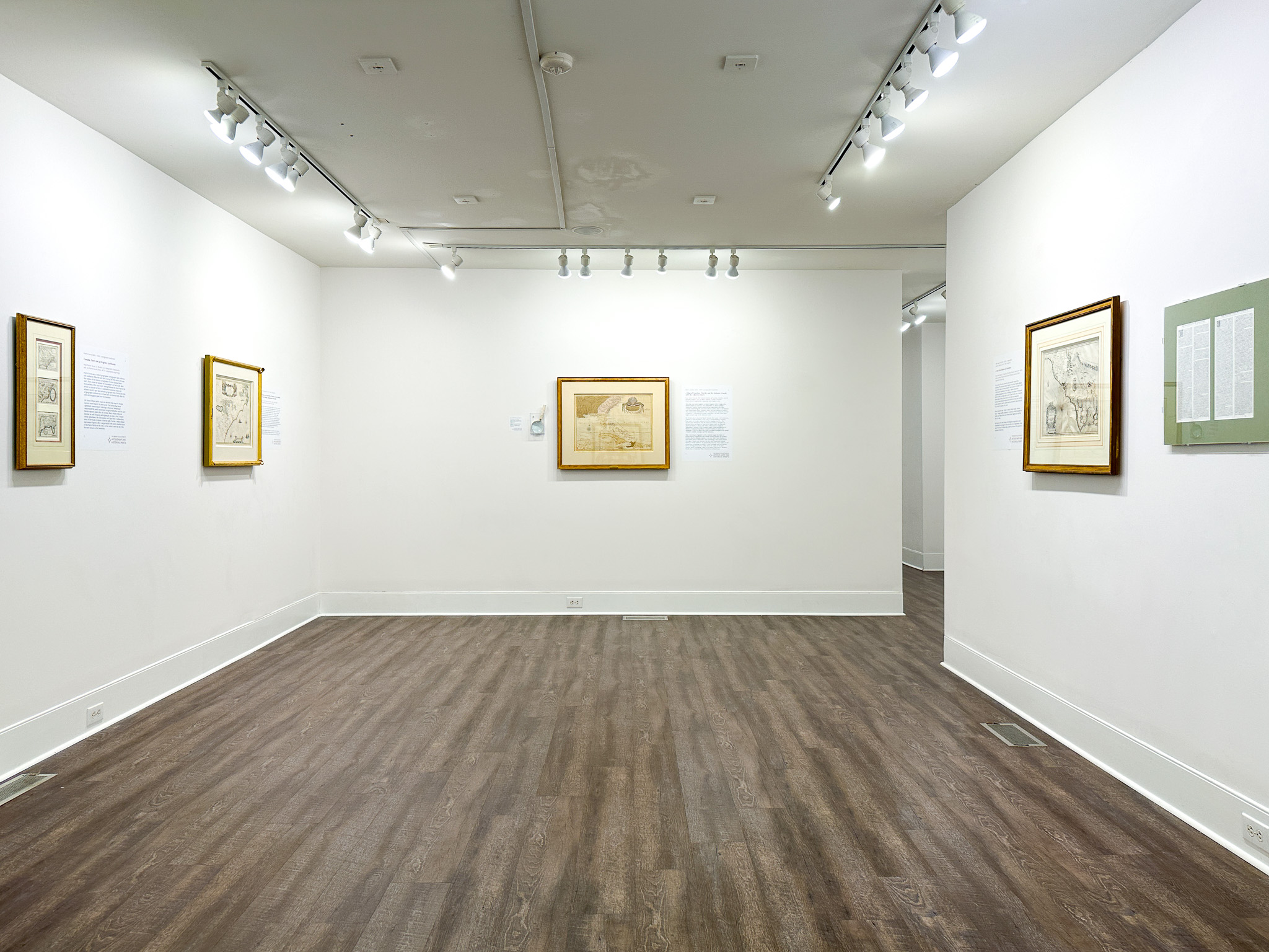
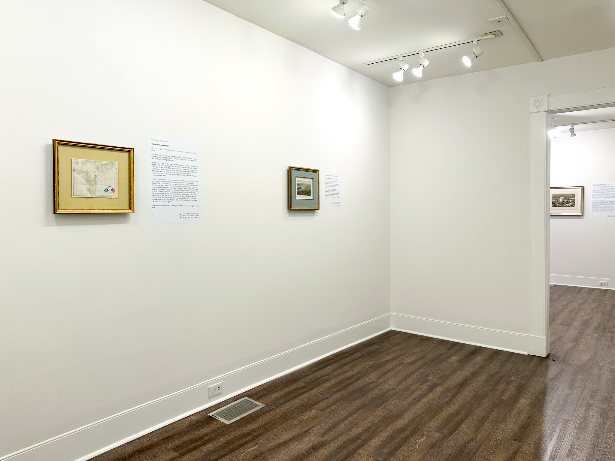
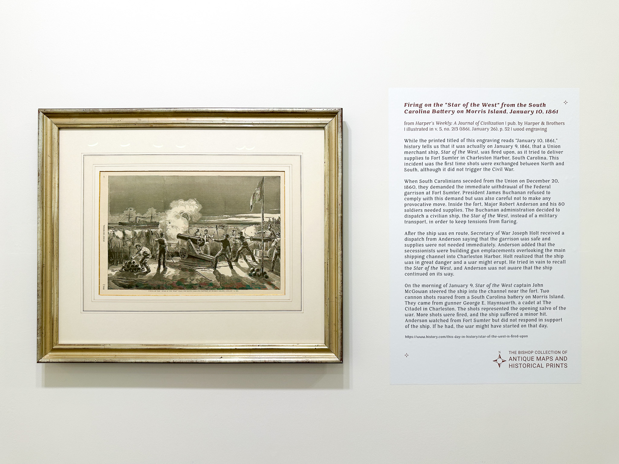
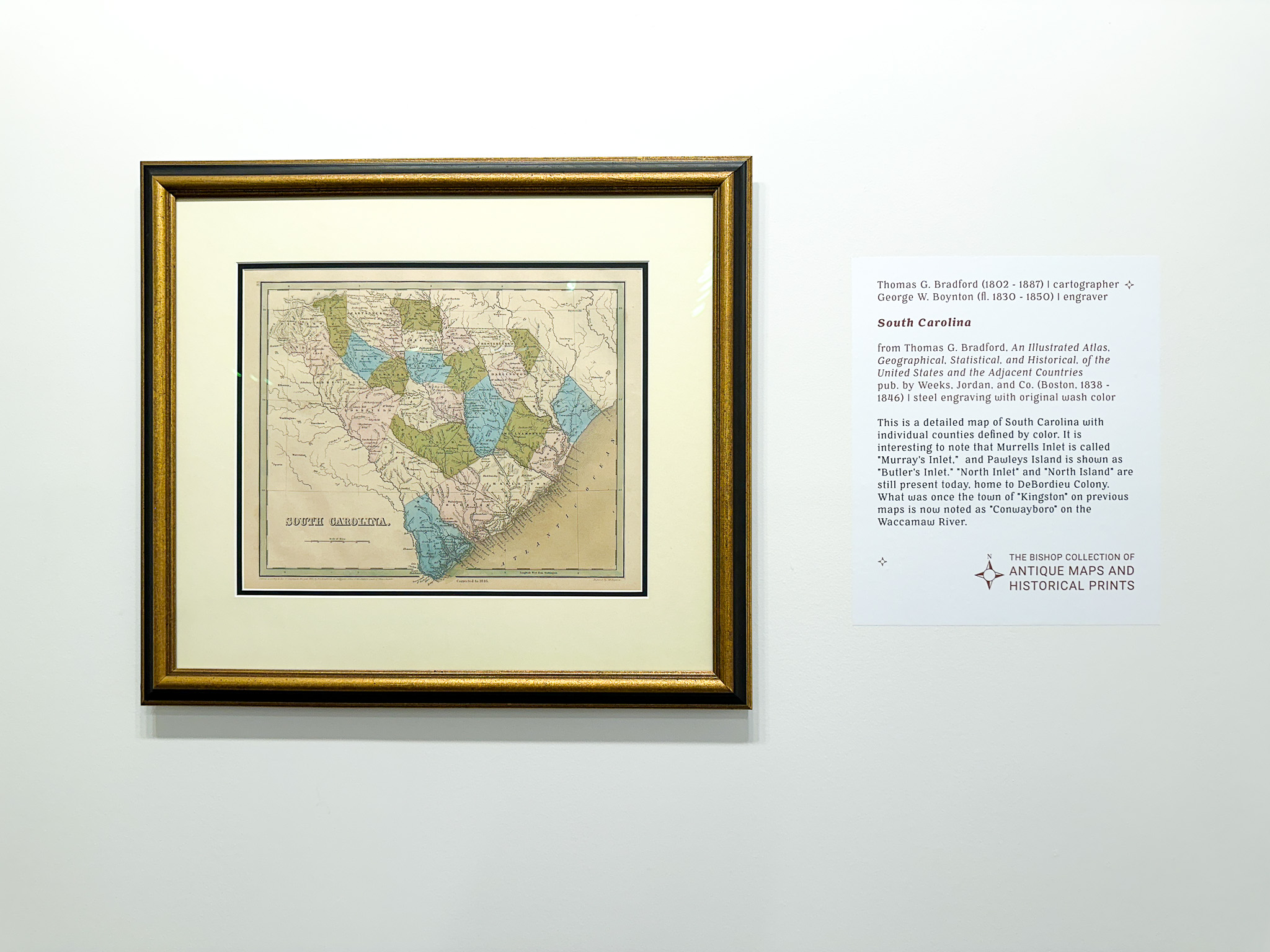
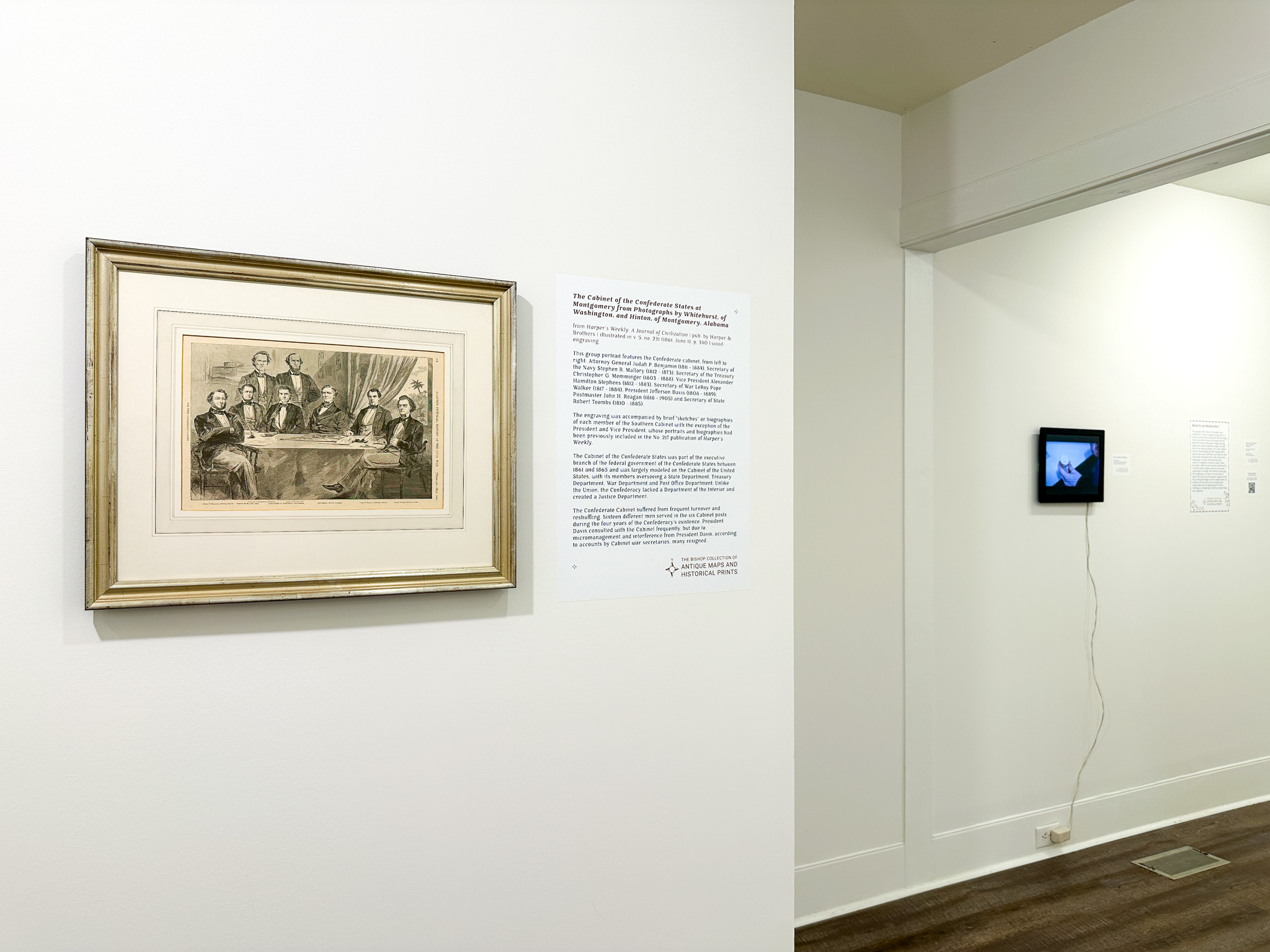
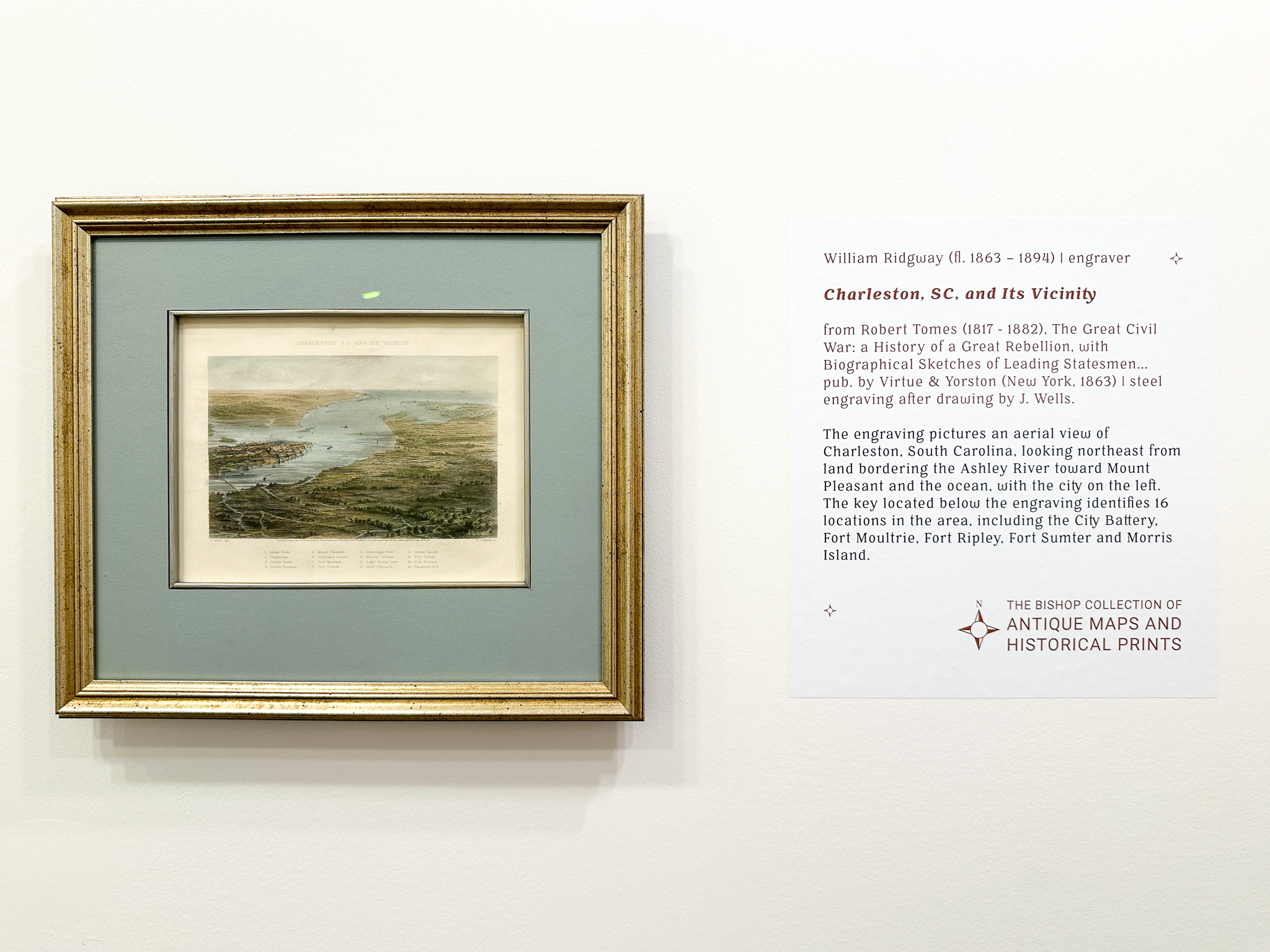
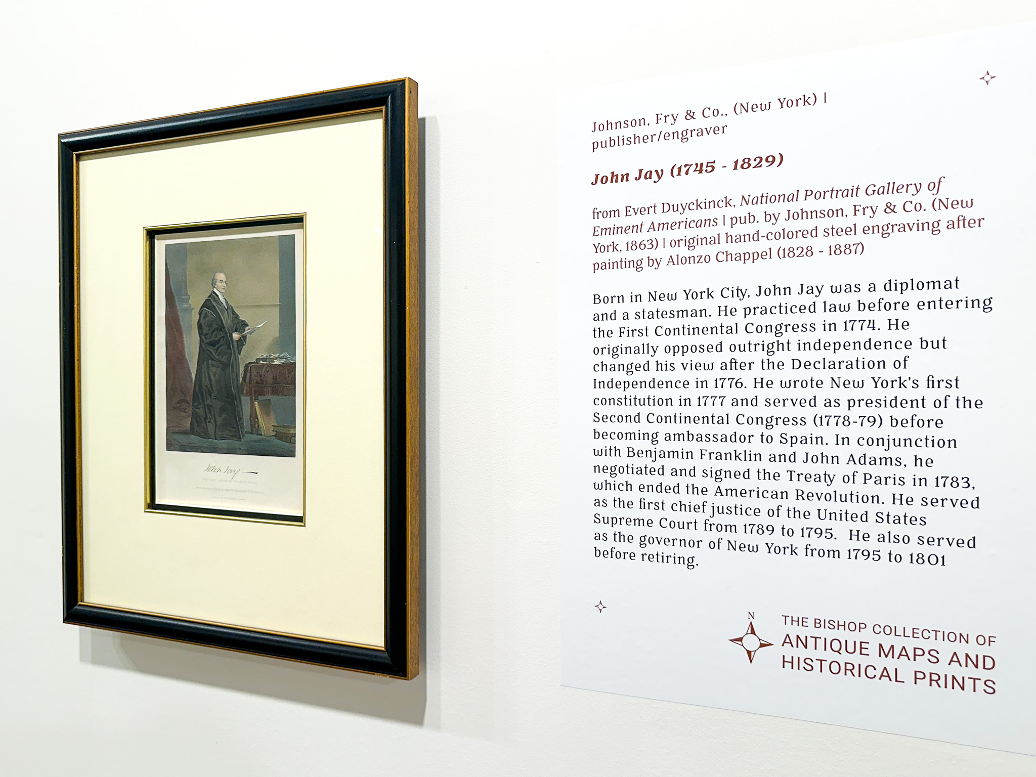
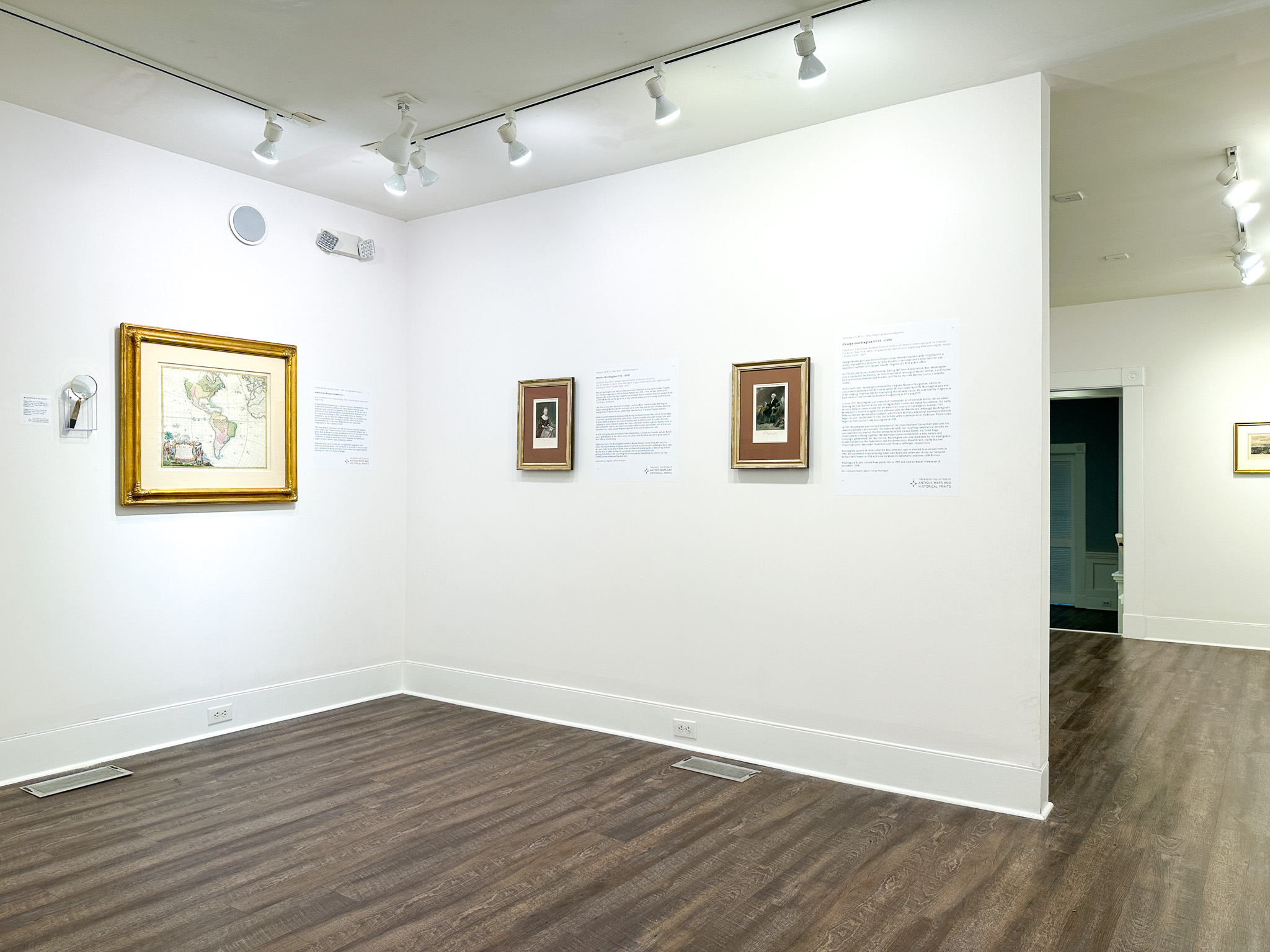
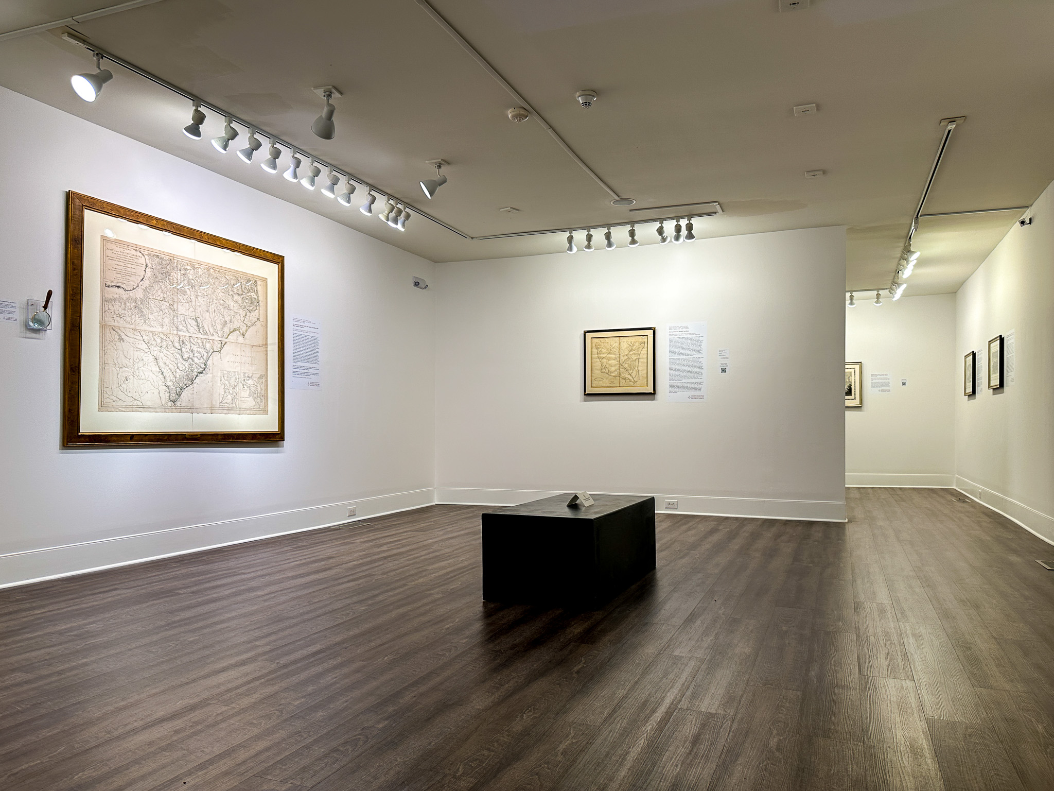
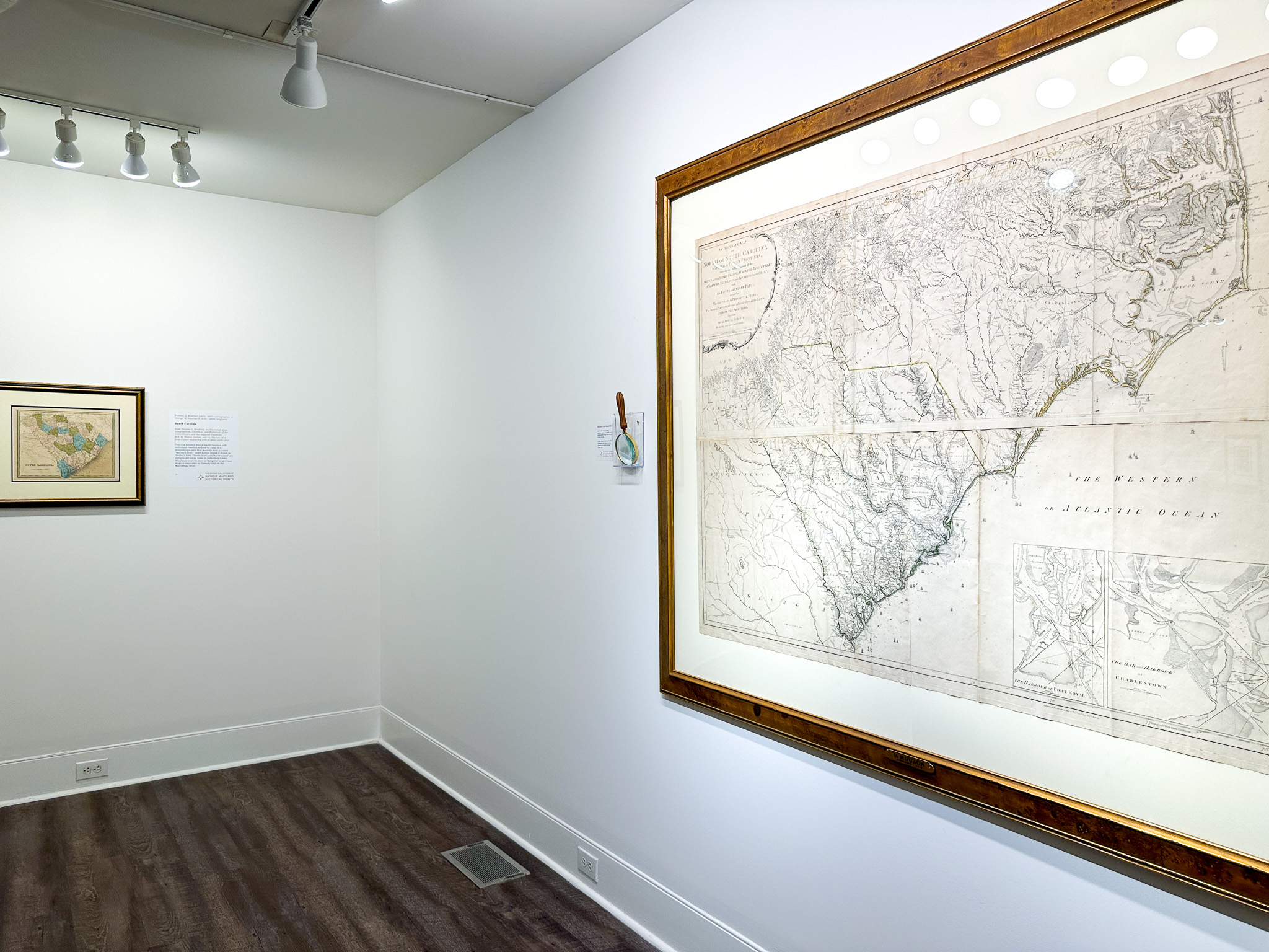
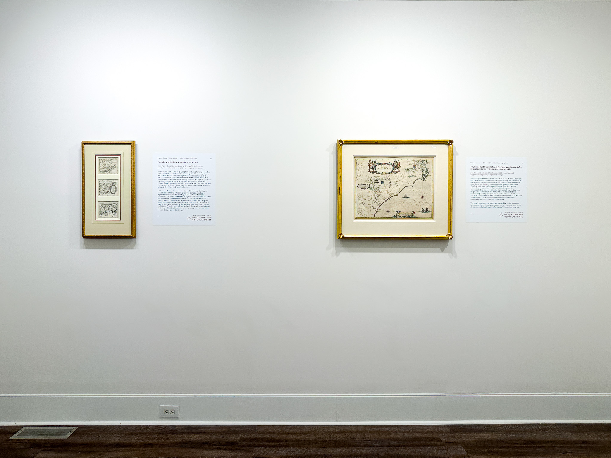
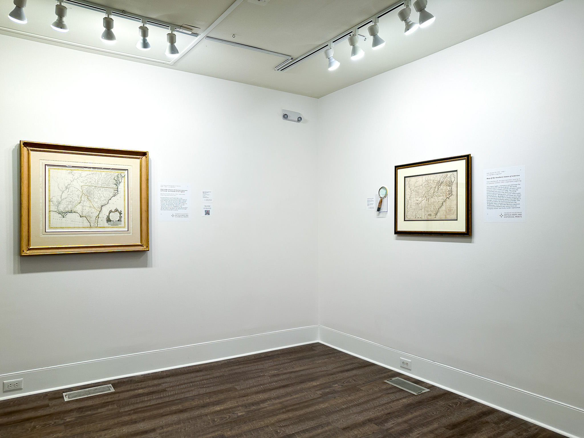
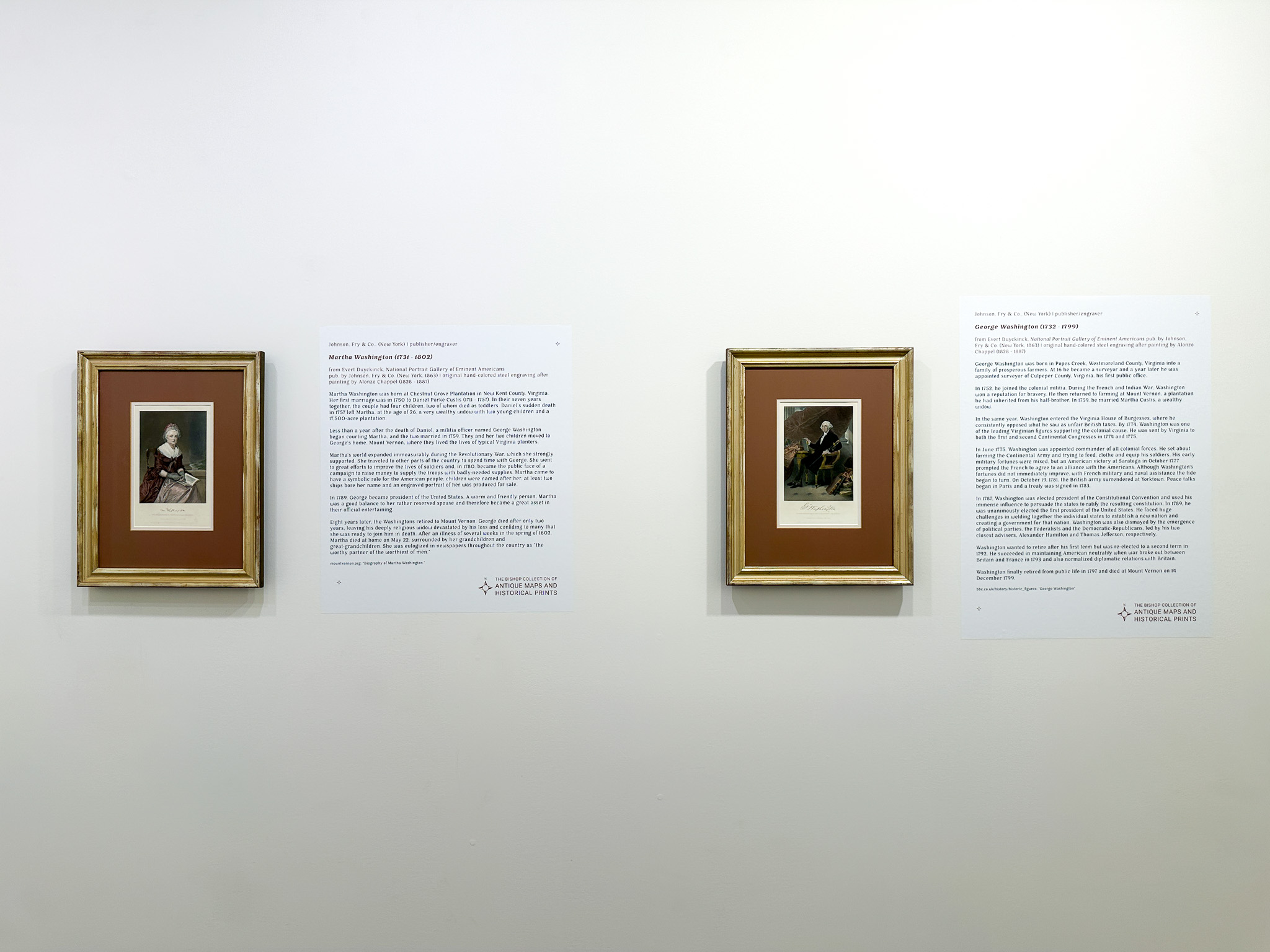
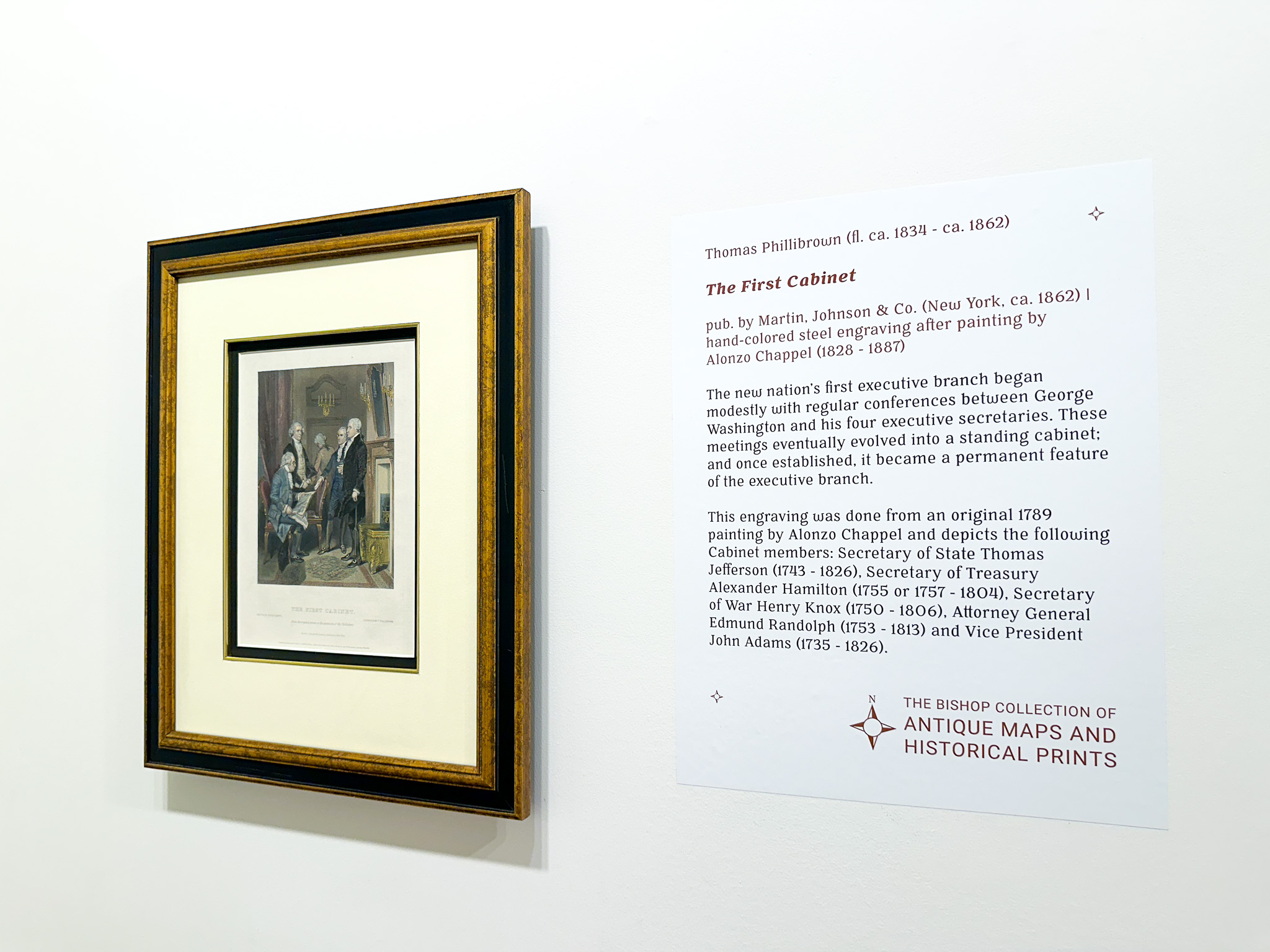
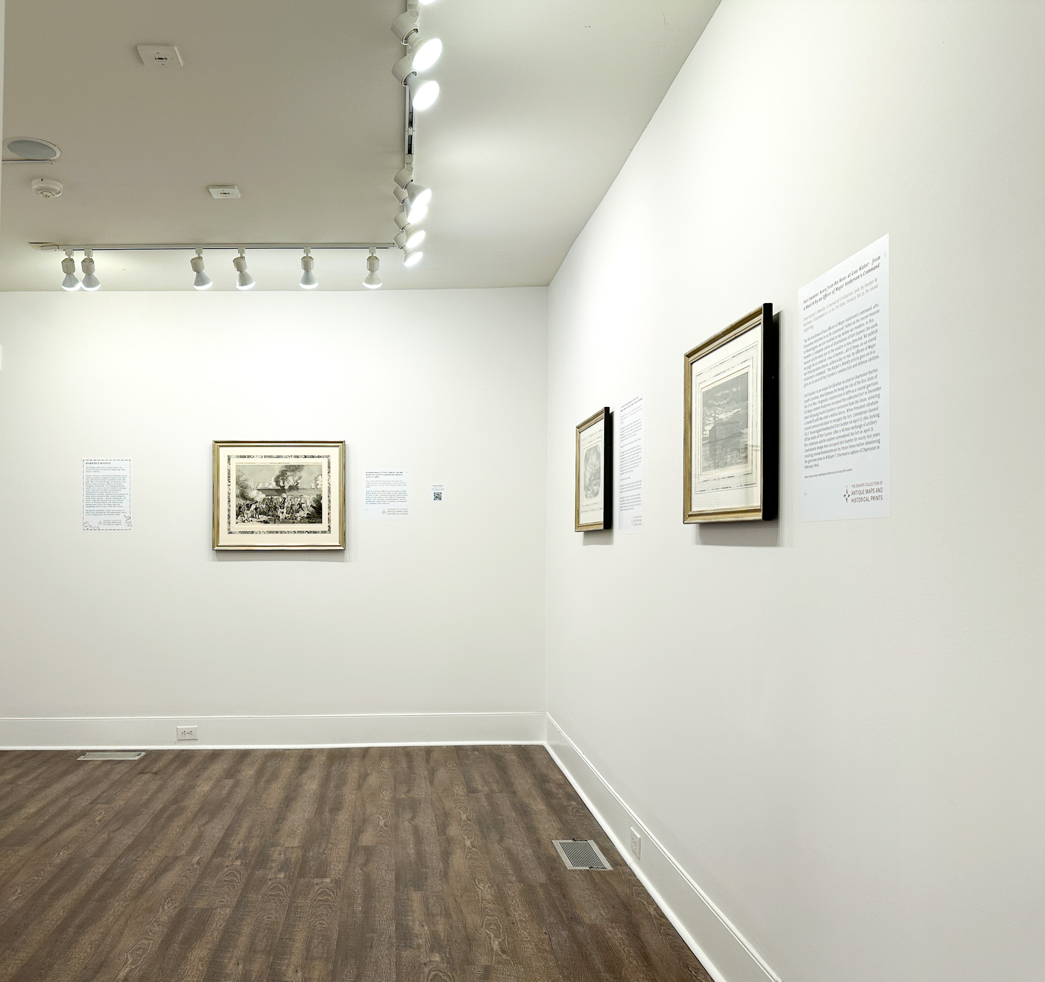
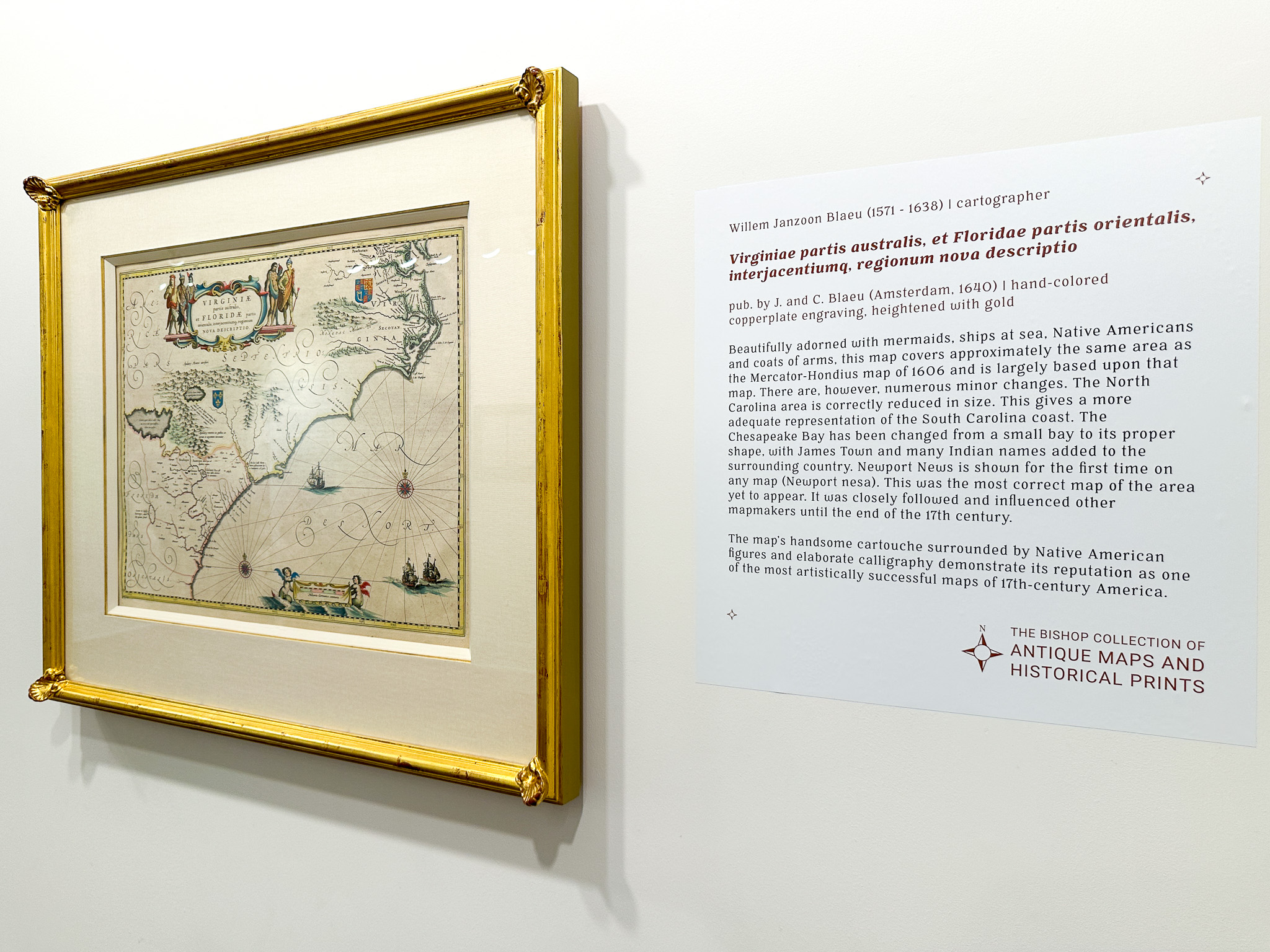
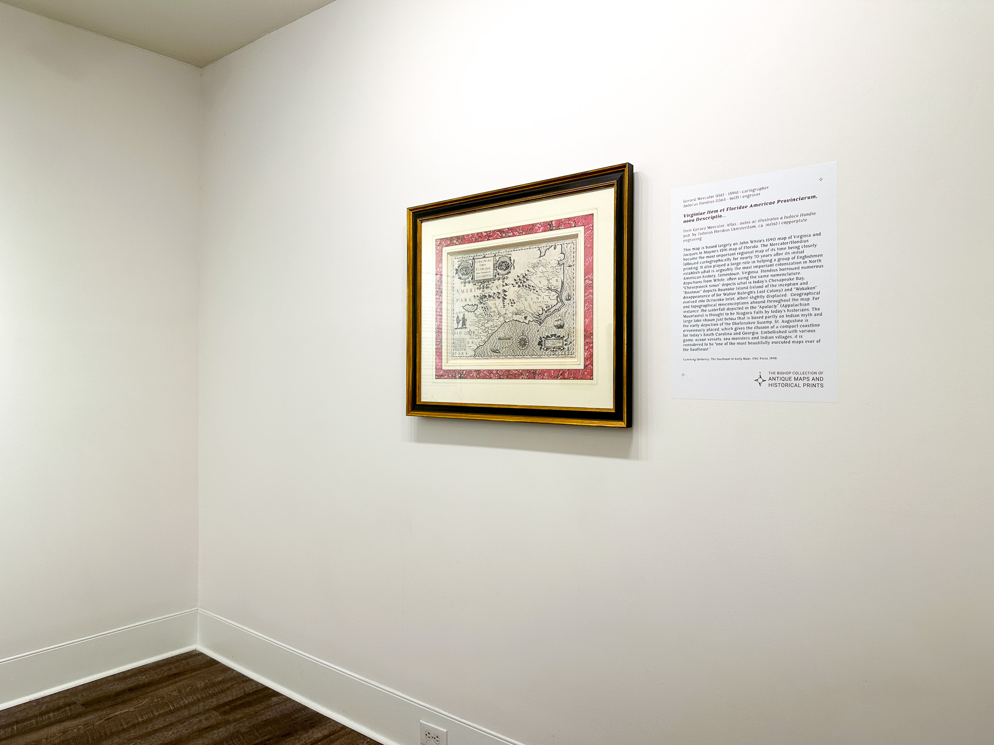
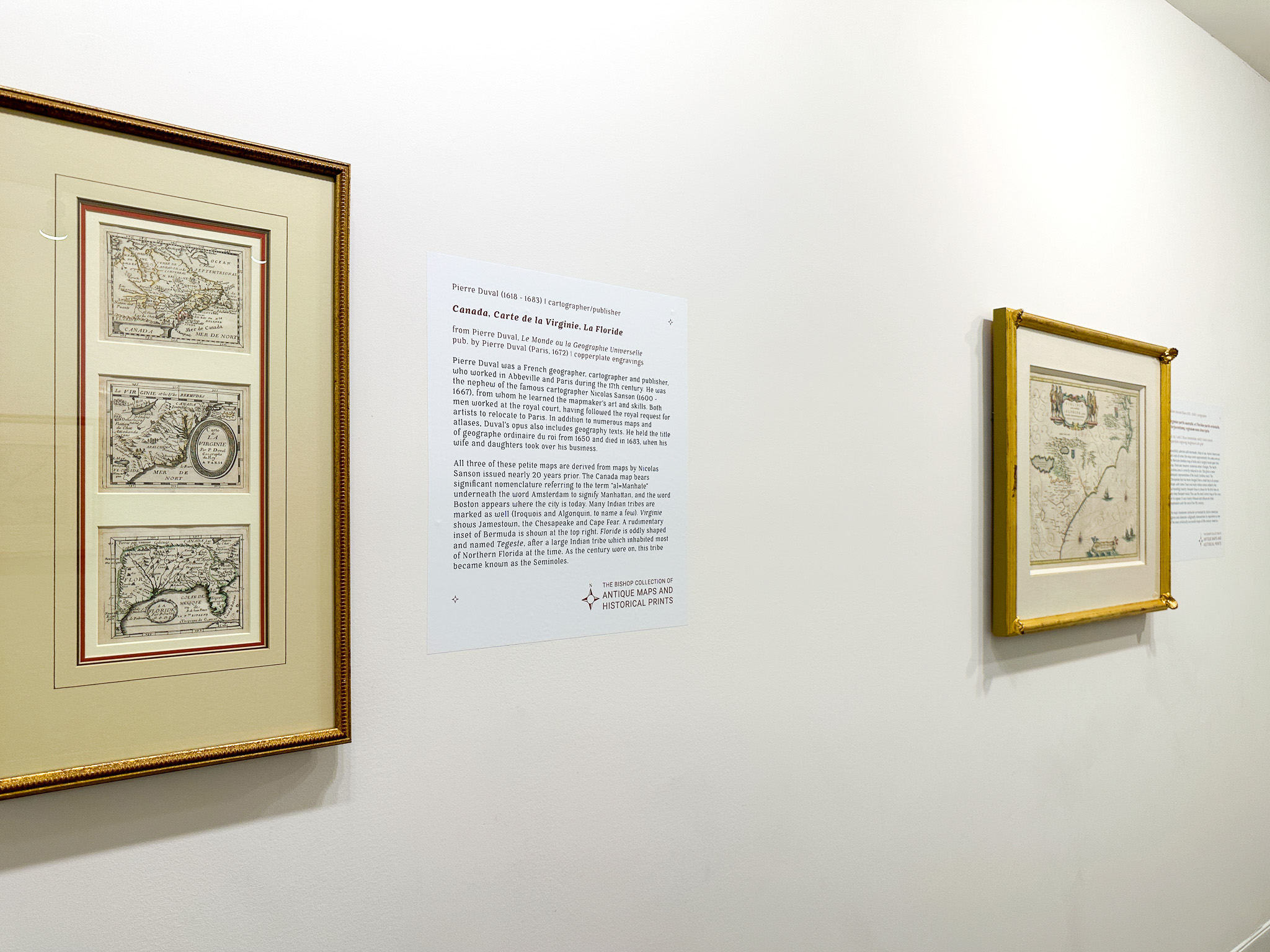
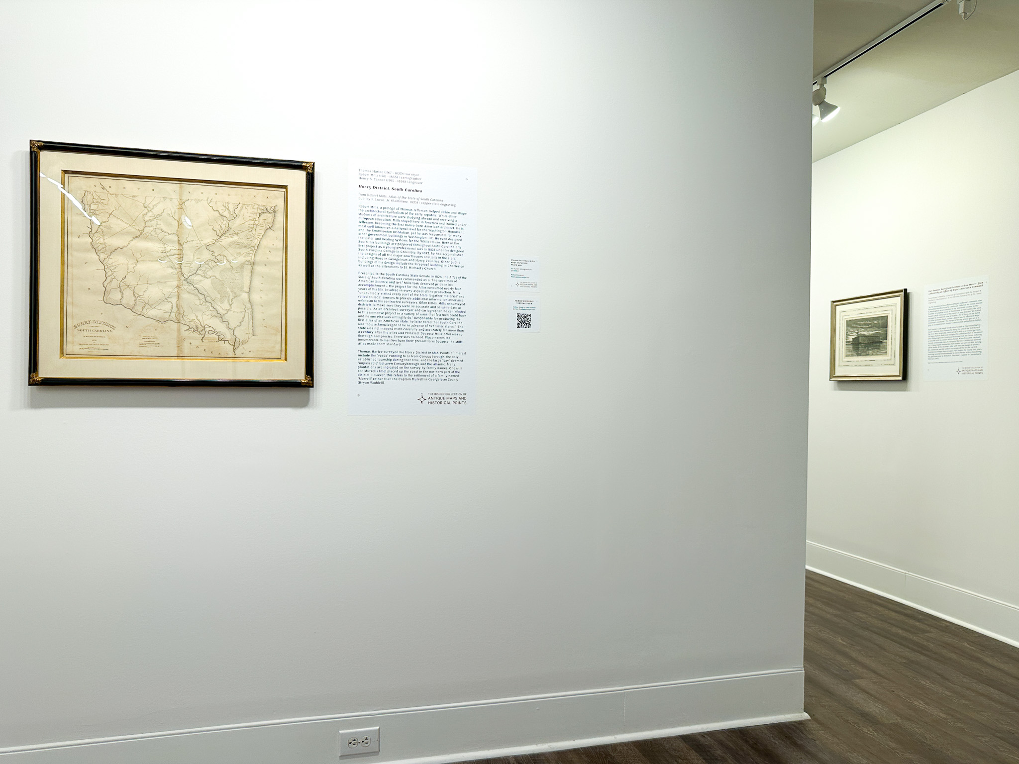
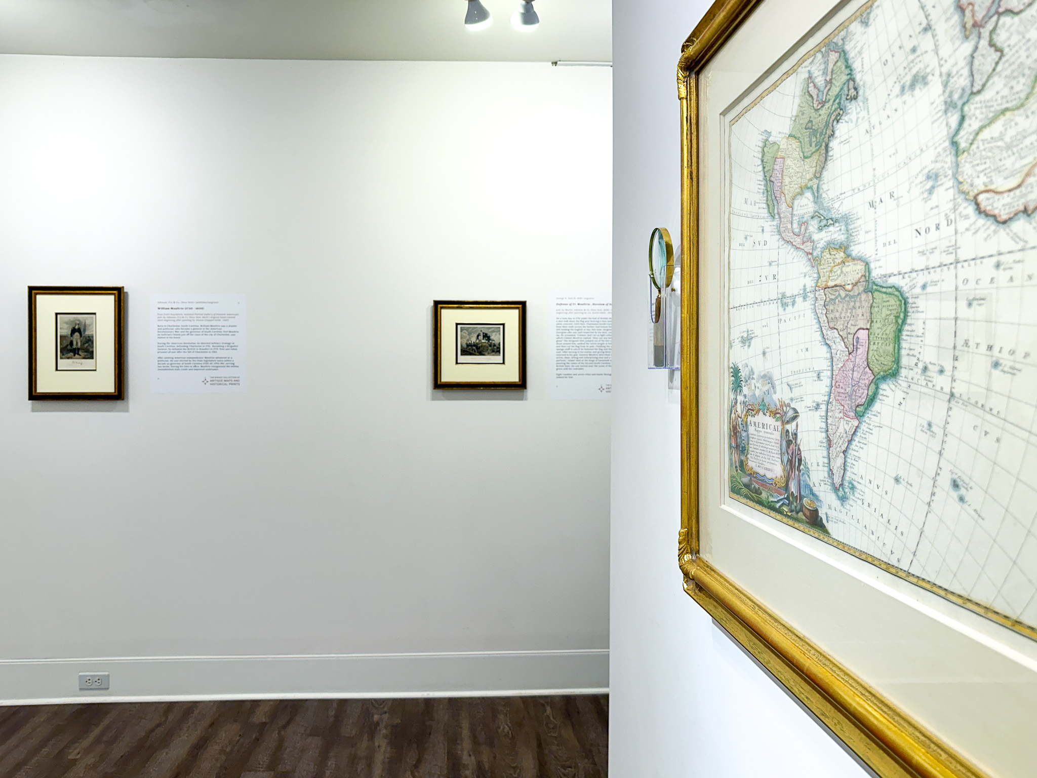
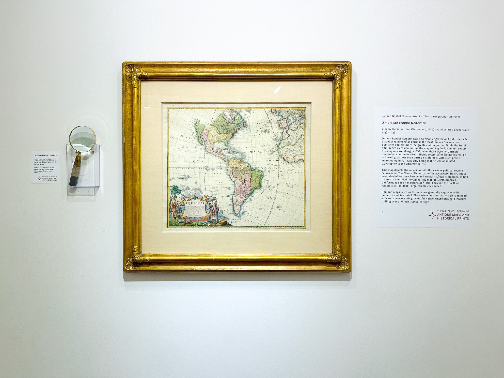
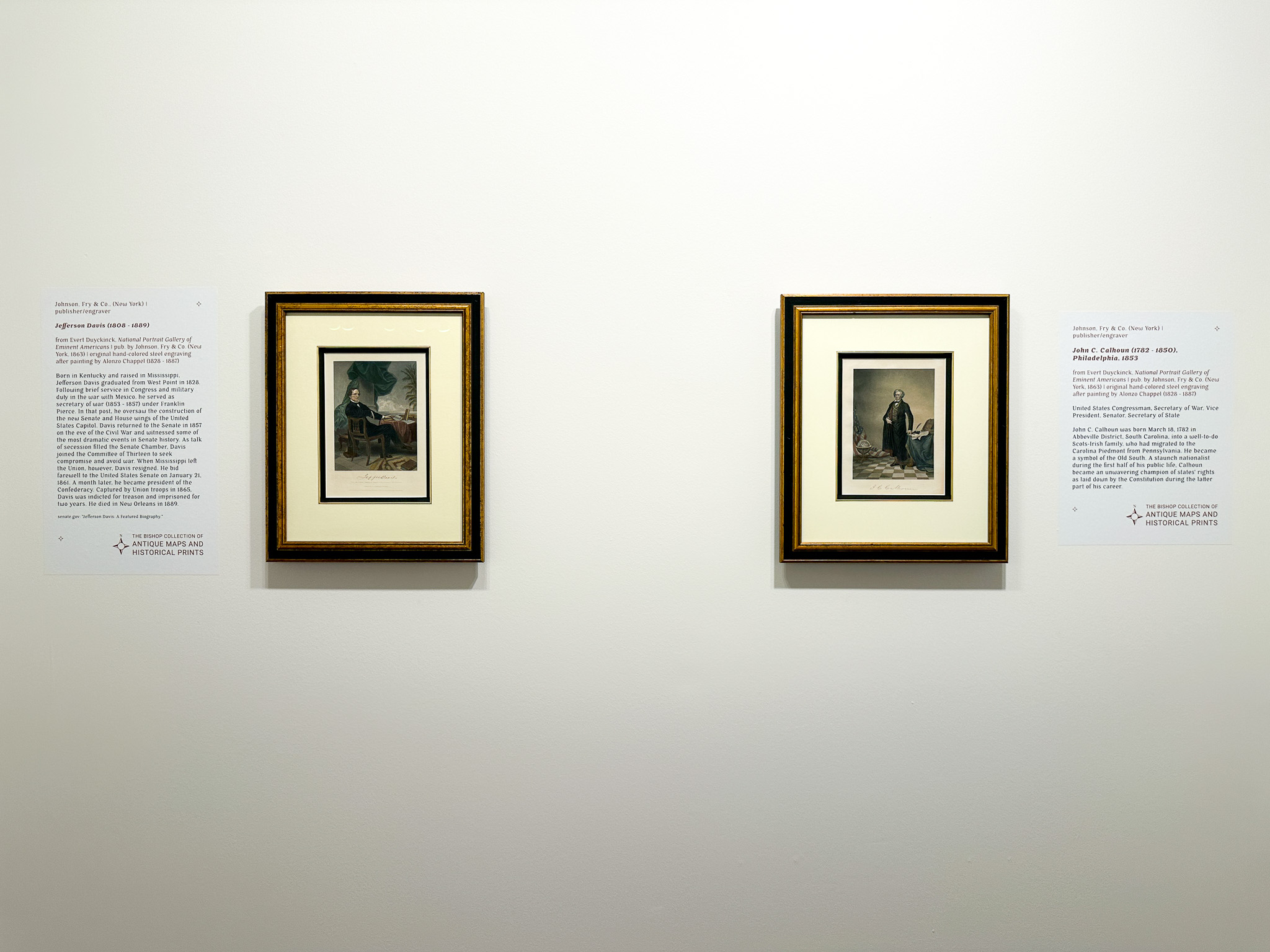
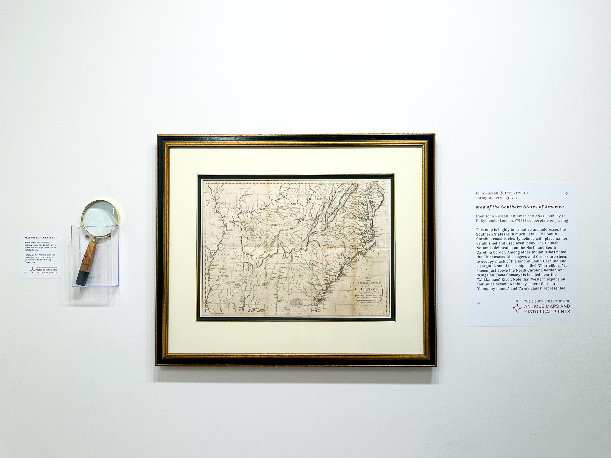
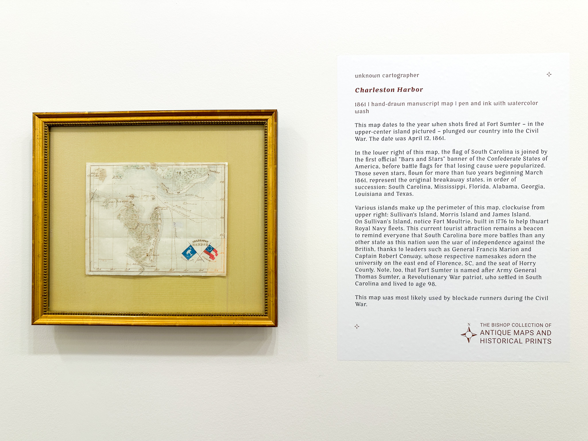
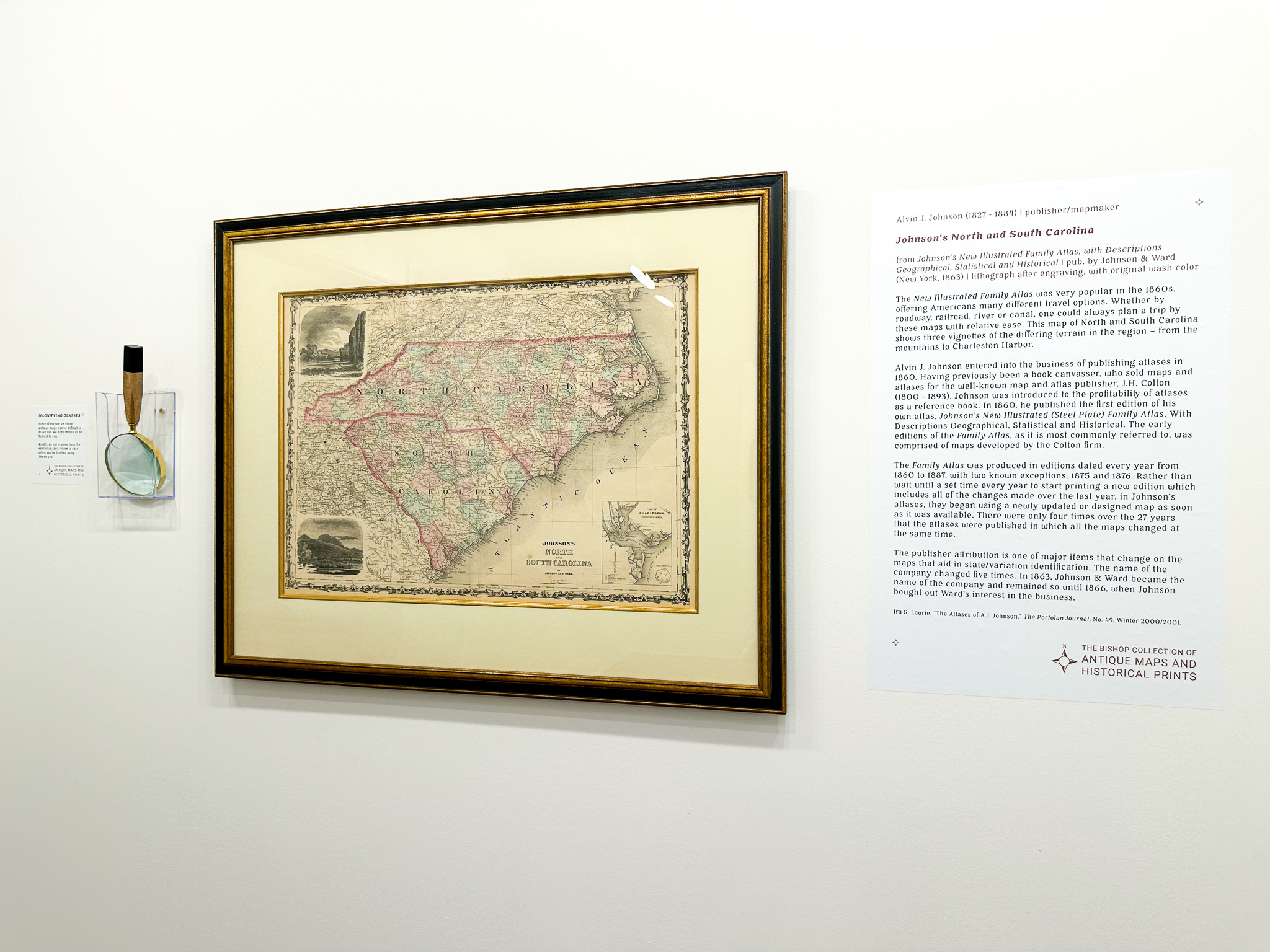
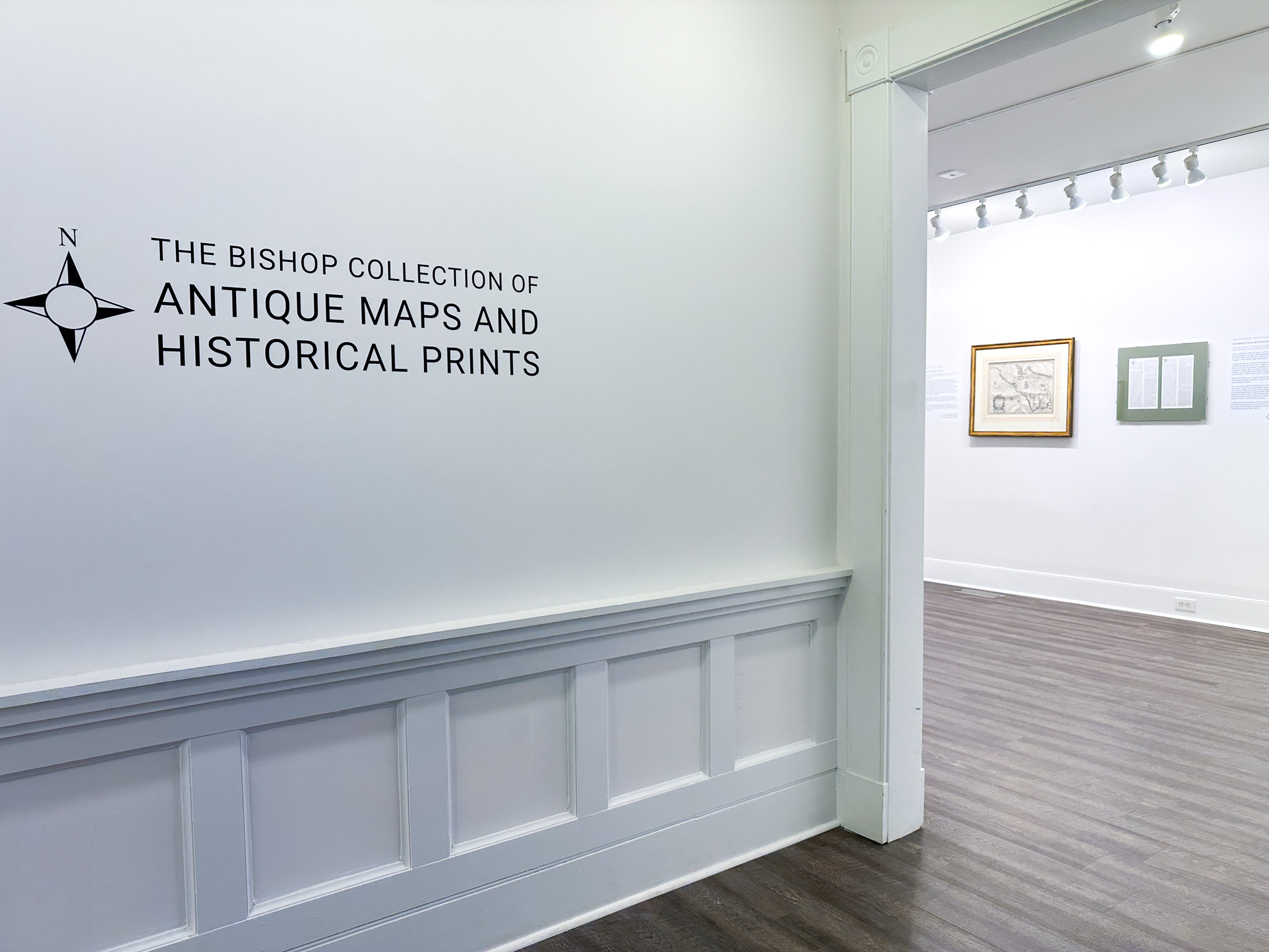
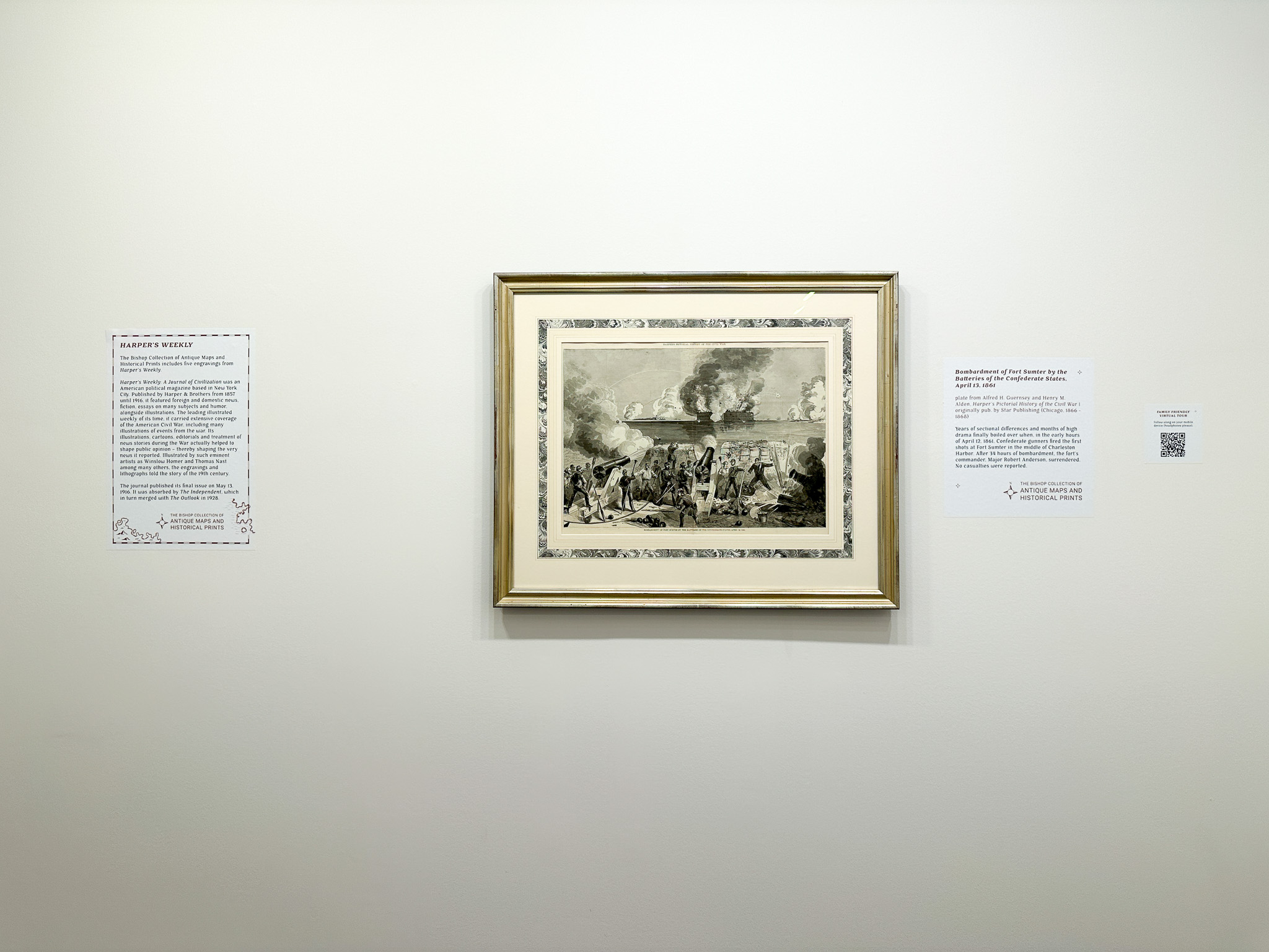
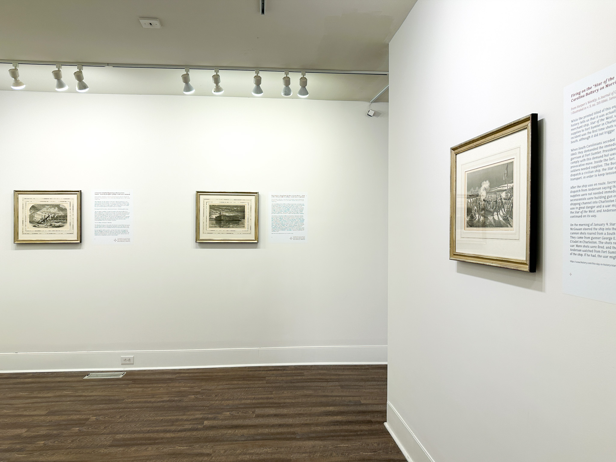
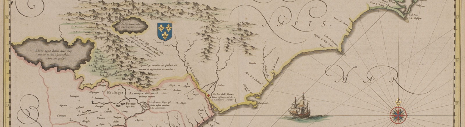
The Art Museum’s Bishop Collection of Antique Maps and Historical Prints – donated by Mrs. Dorothy Jones Bishop in 1999 in honor of her husband, George Bishop – is comprised of 30 works on paper dating from 1606 to 1863. Most of the maps in the collection define our region of the country, with the earliest maps – though amazingly accurate given the methods used – displaying exaggerated or misrepresented topographic features that are fun to discover. Many of the early European cartographers recruited to document the New World were artists, explorers and mathematicians, who relied heavily on Native American accounts and unsubstantiated reports to develop their maps. Cartographic methods and technologies improved during the golden age of map production (late 17th/18th century), and each expedition to the Americas resulted in a better understanding of our topography. The maps are accompanied by a collection of historical engravings from The National Portrait Gallery of Eminent Americans (Duyckinck,1863), as well as illustrative Civil War scenes from Harper’s Weekly (Harper & Brothers, 1857-1916).
virtual tour:
© 2016 Franklin G. Burroughs • Simeon B. Chapin Art Museum
Myrtle Beach’s Franklin G. Burroughs-Simeon B. Chapin Art Museum strives to be one of the finest visual arts museums in the Carolinas. With 11 galleries that change throughout the year, Myrtle Beach’s only art museum offers exhibitions featuring paintings, textiles, sculpture, photography, video, ceramics, assemblage, collage and more. A visit to the Art Museum’s exhibitions can be enhanced by its lively programming, including artist receptions, tours, lectures, workshops and classes for both adults and children.